From: Aspen, CO
To: Georgetown, CO
Miles today: 119
Total miles: 14909
Karen got up at dawn to catch her flights back. I left Aspen myself a few hours later,
continuing on route CO 82 to where it ends at US 24. This route takes you over the Continental
Divide at one of the highest passes in the continental US, Independence Pass
(elevation 12,095 feet, according to the sign).
Here are a couple of shots.
 |
| Looking back at CO 82, climbing to Independence Pass |
 |
| Near the Top of Colorado |
 |
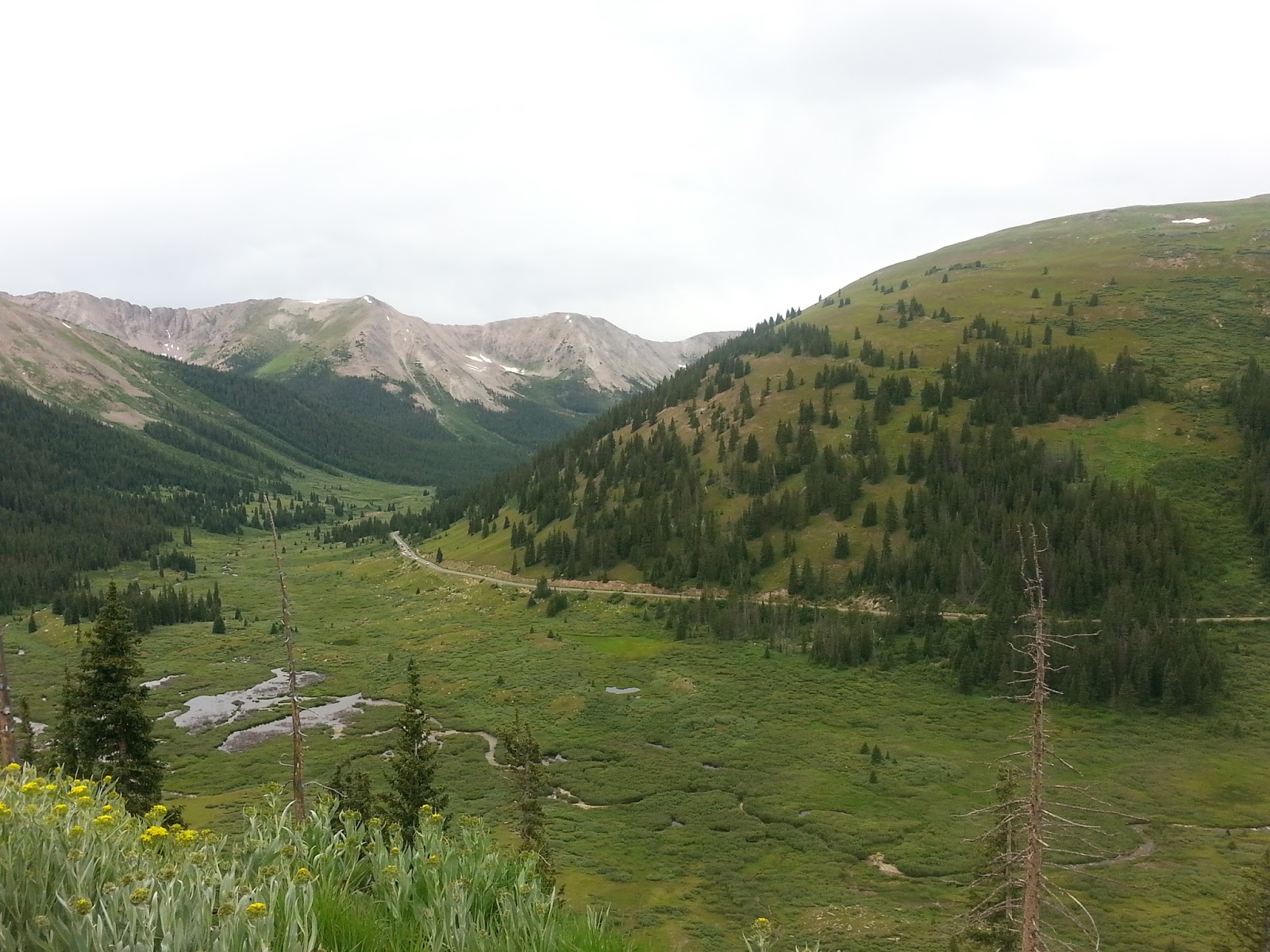
| View from the top of CO 82, with the descent route visible |
On the way down, it started raining, and this kept up
most of the afternoon as I moved north on US 24 and then CO 91. It was cold due to the altitude, and there
was a fair amount of traffic, but we moved along at a fairly steady pace.
Shortly after I returned to I-70, however, the traffic became very heavy and
slowed to a crawl. A look at the map explains this: I-70 leads to Denver, and
this was Sunday afternoon, and everyone was returning from their weekend in the
mountains. This is the analogy of the
traffic you see on Route 50, with the Chesapeake Bay Bridge, in Maryland on
Sundays in summer, when everyone is returning from the beach on two lanes of
highway. After two hours and 20 miles, I
couldn’t take any more and I pulled off in the town of Georgetown, CO. Tomorrow, I’m sure, the roads will be better.
No comments:
Post a Comment
Comments welcome.